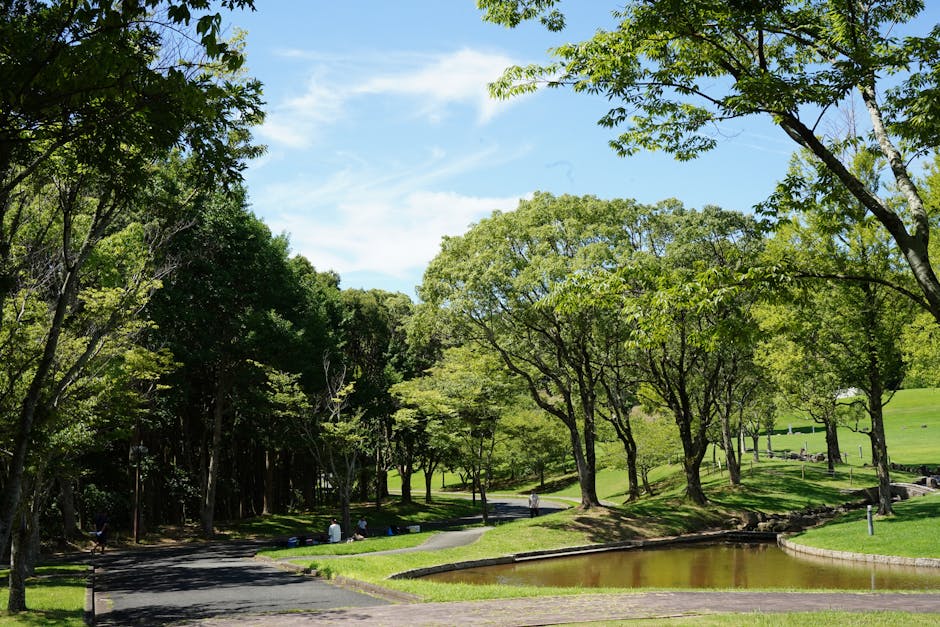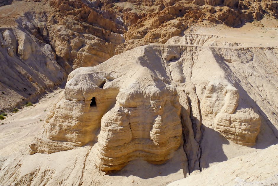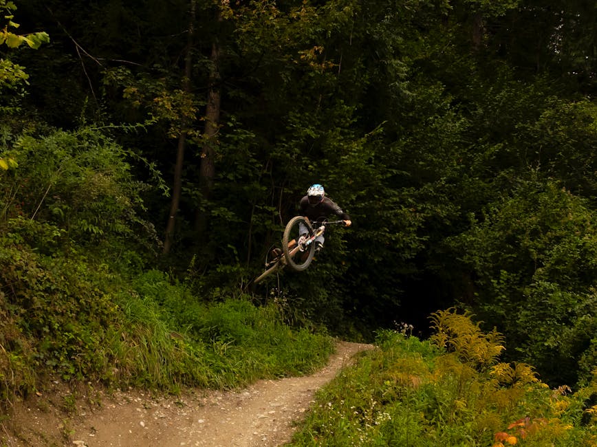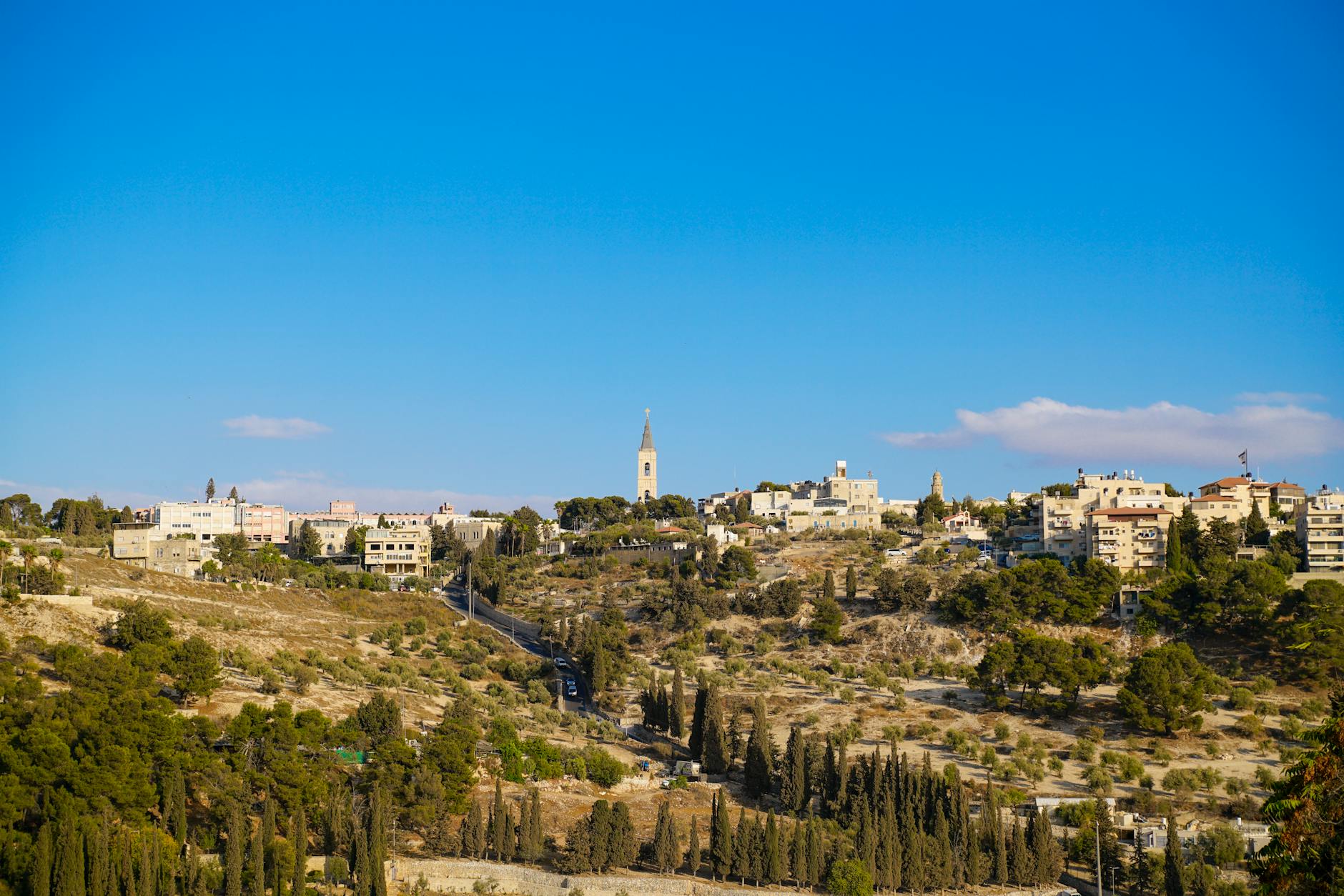
Most visitors to Jerusalem spend their time exploring ancient stones, holy sites, and bustling markets — and rightly so. But step just a few kilometers beyond the city limits and you discover a completely different world: forested hills laced with hiking trails, dramatic desert canyons with hidden springs and ancient monasteries, nature reserves teeming with wildlife, and outdoor adventures ranging from mountain biking to rock climbing and rappelling. The landscape surrounding Jerusalem is remarkably diverse, shifting from lush Mediterranean forest to stark Judean Desert within a 30-minute drive.
This comprehensive guide covers the best hiking trails and outdoor activities within easy reach of Jerusalem. Whether you are looking for a gentle two-hour morning walk through ancient agricultural terraces or a full-day desert canyon adventure, the Jerusalem area delivers exceptional outdoor experiences that most tourists never discover. For planning your overall trip, pair this guide with our Jerusalem itinerary guide and practical travel tips.
The Jerusalem Hills: Forest Trails and Mediterranean Landscapes
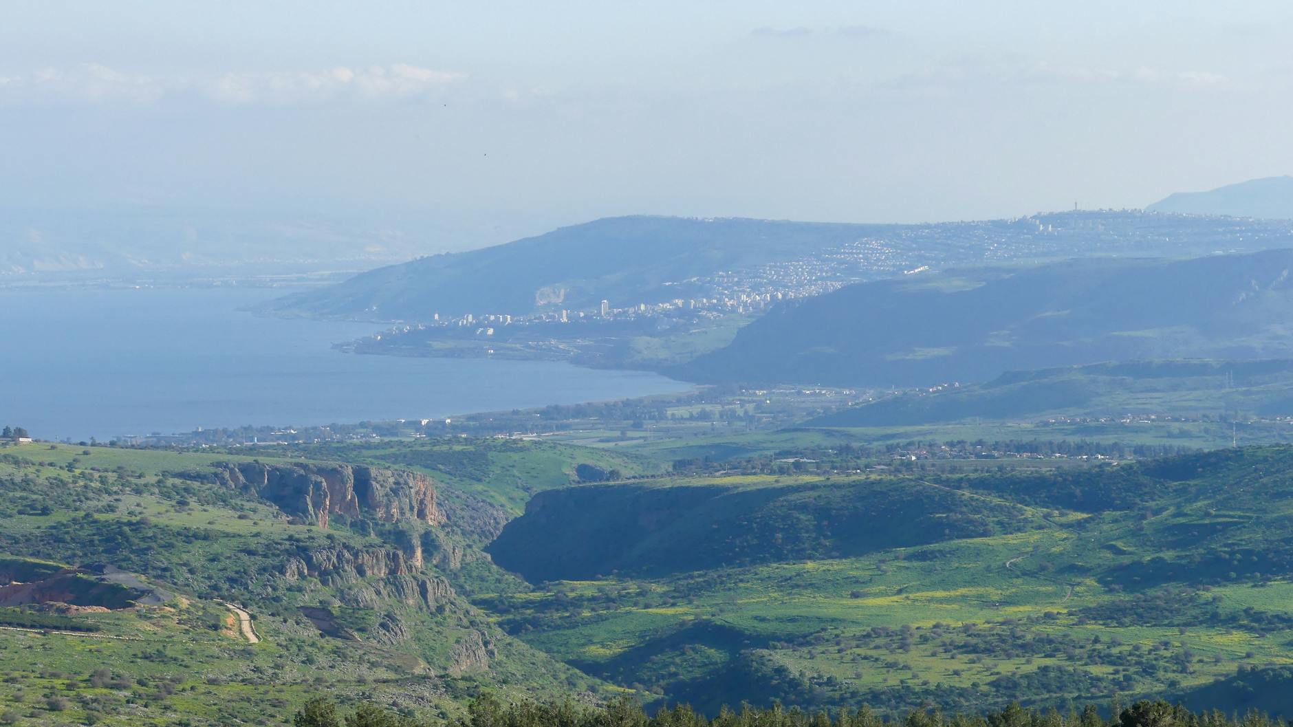
The Jerusalem Hills (Harei Yerushalayim) form a stunning natural area west and southwest of the city, characterized by terraced hillsides, pine and cypress forests planted over the past century, ancient olive groves, and natural Mediterranean woodland of oak, carob, and terebinth. This area contains some of Israel’s most accessible and rewarding hiking, with well-marked trails maintained by the Israel National Trail authority and the Jewish National Fund (KKL-JNF).
Sataf: Ancient Terraces and Natural Springs
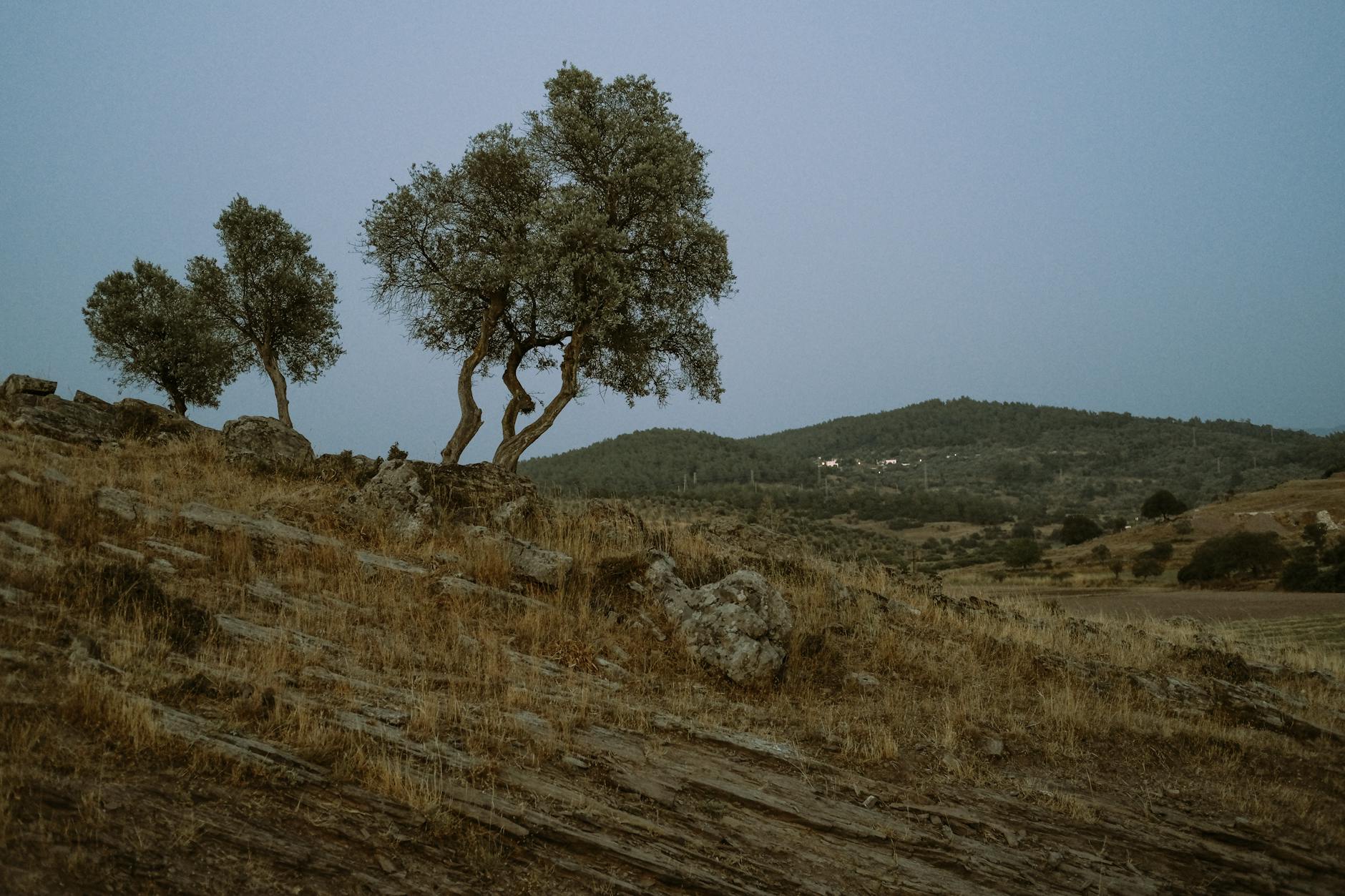
Sataf is one of the most popular hiking destinations near Jerusalem, and for good reason. This KKL-JNF managed site showcases 4,500 years of agricultural history through beautifully restored ancient stone terraces, fed by two natural springs — Ein Sataf and Ein Bikura. The terraces, dating to the Second Temple period and earlier, create a strikingly photogenic landscape that is especially beautiful in spring when wildflowers carpet the hillsides.
Blue Trail (Village Trail): The most popular route is the gentle 3-kilometer blue-marked trail that loops through the restored terraces, passing both springs and an ancient olive press. Allow about 1 hour. This trail is suitable for families with children and offers shaded rest spots. Children love splashing in the spring water on warm days.
Red Trail (Mountain Circuit): For a more challenging experience, the 8.5-kilometer red-marked trail circles the mountain, offering panoramic views of the Sorek Valley and the Jerusalem Hills. This is widely considered one of the finest medium-difficulty hikes in the Jerusalem area. Allow 3-4 hours. Our complete Sataf trail guide breaks down both routes, spring access, and parking. The trail includes some elevation changes but no technical sections.
Sataf to Ein Karem: A beautiful 7-kilometer connecting trail links Sataf to the picturesque village of Ein Karem, following a segment of the Israel National Trail. The walk takes about 2.5 hours and ends in one of Jerusalem’s most charming neighborhoods, where you can reward yourself with lunch at a café surrounded by centuries-old stone buildings and church bells. Getting there: Sataf is a 20-minute drive from central Jerusalem. Limited parking is available — arrive early on weekends.
Jerusalem Forest (Ya’ar Yerushalayim)
The Jerusalem Forest stretches across 4,500 acres on the western slopes of the city, offering a surprising expanse of green just minutes from downtown. The forest contains a network of trails ranging from easy walking paths to more challenging mountain biking routes, all winding through pine plantations, natural woodland, and open clearings with views toward the coastal plain. The 42-kilometer Jerusalem Trail city loop also threads through this forest on its way around the city.
Herzl Trail: A 6-kilometer loop starting from the Yad Kennedy memorial (a striking brutalist monument shaped like a felled tree trunk) that passes through dense forest with seasonal wildflower displays. Easy to moderate difficulty, about 2 hours.
Nahal Sorek Viewpoint Trail: A 4-kilometer trail leading to spectacular viewpoints overlooking the Sorek Valley — considered by many to be the most scenic valley in the Jerusalem Hills. The valley’s mix of natural forest, terraced hillsides, and distant monastery ruins creates a landscape that could belong to Tuscany. Best in the golden light of late afternoon.
Canada Park (Ayalon-Canada Park)
Located about 25 minutes west of Jerusalem near the Latrun junction, Canada Park covers 7,000 acres of rolling forested hills rich in historical sites spanning millennia. The park is free to enter and features well-maintained trails connecting ancient ruins, Crusader fortifications, Byzantine-era burial caves, a Roman-period bathhouse, and a Hasmonean water system.
Archaeological Circuit Trail: A 5-kilometer loop connecting the park’s major historical sites through shaded forest. Allow 2-3 hours including time to explore ruins. The combination of nature and archaeology makes this an excellent half-day outing. Picnic areas with tables and facilities are available throughout. Best for: Families, casual hikers, history enthusiasts.
Mount Eitan Circuit
Mount Eitan offers one of the most rewarding circular hikes in the Jerusalem Mountains. The trail loops around the mountain, passing through mixed forest and Mediterranean maquis shrubland, with views over Nahal Sorek and the surrounding hills. Springs along the route provide welcome refreshment points. The full circuit is approximately 10 kilometers and takes 4-5 hours — a perfect full-morning hike for fit walkers.
Desert Trails: The Judean Desert
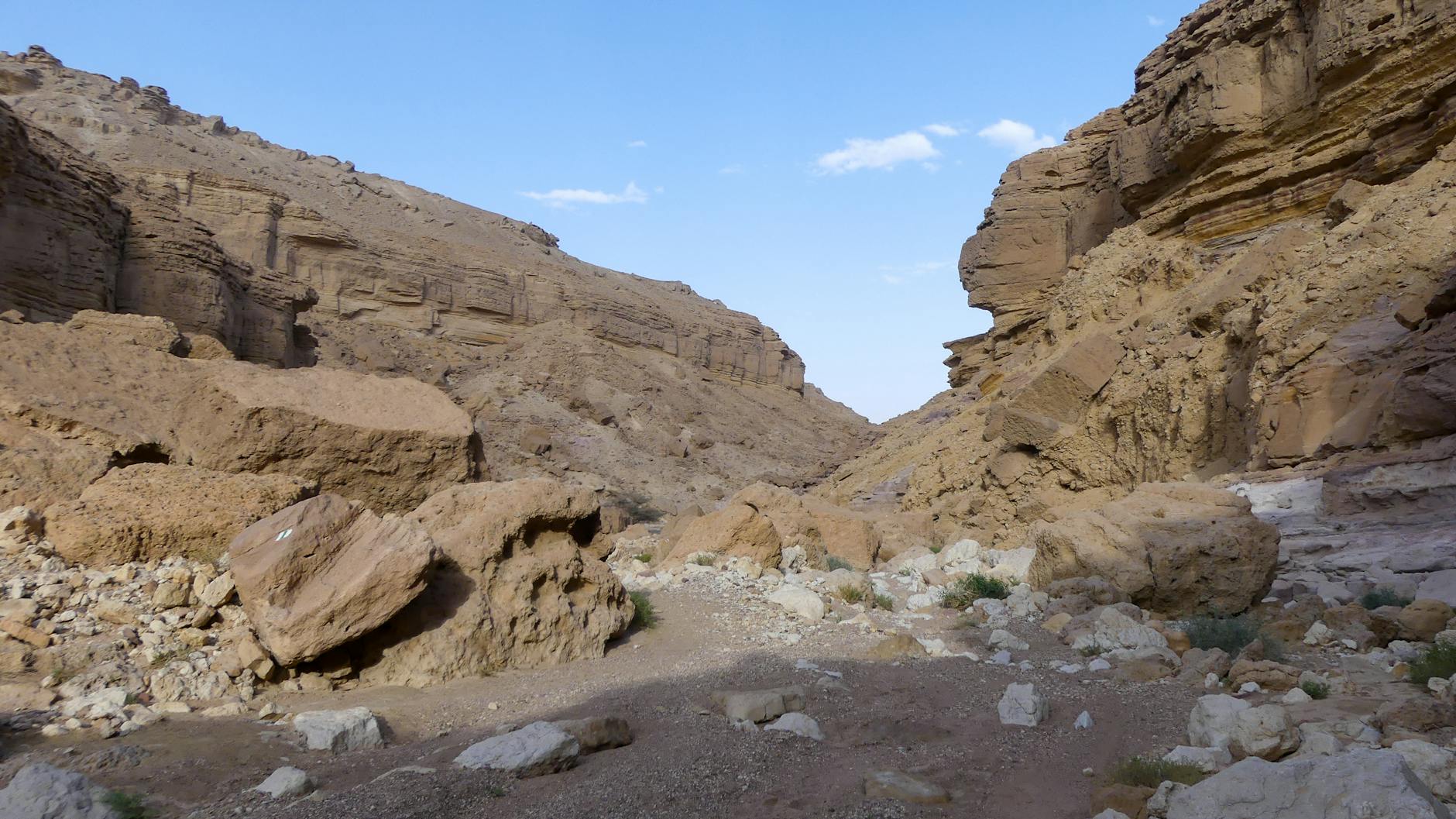
The Judean Desert begins just east of Jerusalem, dropping dramatically from the city’s 800-meter elevation to the Dead Sea at 430 meters below sea level — the lowest point on Earth. This stark, beautiful landscape of canyons, cliffs, and hidden springs offers some of the most dramatic hiking in Israel. The contrast with the green Jerusalem Hills is extraordinary: you can hike through forest in the morning and desert canyon in the afternoon. If you would rather not drive yourself out here, jeep, camel, and hiking tours into the Judean Desert run daily from the city.
Wadi Qelt (Nahal Prat / Ein Prat)
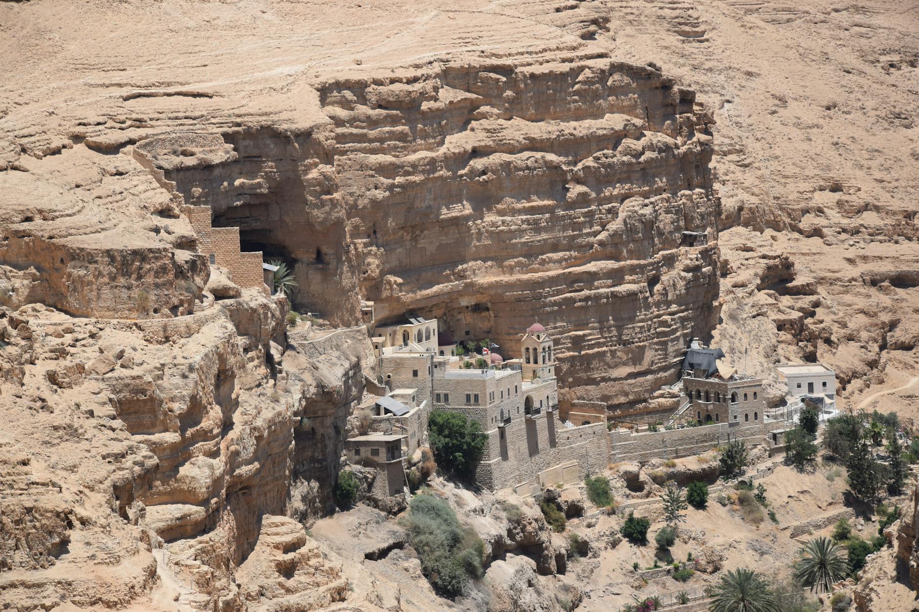
Wadi Qelt is the crown jewel of desert hiking near Jerusalem. This spectacular canyon runs from the Jerusalem suburbs to Jericho, carving a deep gorge through the Judean Desert. The wadi features year-round springs, ancient aqueducts, hidden pools, and the jaw-dropping 5th-century St. George Monastery, which clings impossibly to the cliff face 150 meters above the canyon floor.
Upper Wadi Qelt (Ein Prat): The most accessible section starts at Ein Prat Nature Reserve, about 20 minutes northeast of Jerusalem. A moderate 3-kilometer trail follows the spring-fed stream through a narrow canyon with lush vegetation — a stark green ribbon cutting through the surrounding desert. Natural pools invite swimming in warmer months. Allow 2-3 hours. This section is family-friendly and well-maintained.
Full Wadi Qelt Hike: The classic full traverse from Ein Prat to Jericho is approximately 15 kilometers and takes 6-8 hours. This is a serious desert hike requiring good fitness, adequate water (the Israel Nature and Parks Authority advises around 5 liters per person for desert routes, and roughly a liter an hour in real summer heat), sun protection, and ideally a shuttle arrangement for the return journey. The trail passes through increasingly dramatic canyon scenery, with the highlight being the approach to St. George Monastery. Important: Do not attempt this hike in summer without experienced guidance. Temperatures in the canyon can exceed 40°C.
Nahal Og
For experienced hikers seeking a quieter desert canyon experience, Nahal Og offers a challenging but spectacular route through narrow gorges with seasonal waterfalls and dramatic rock formations. The main trail is about 8 kilometers and requires some scrambling over rocks and through narrow passages. This is not a trail for beginners, but the reward is genuine desert wilderness solitude within easy reach of Jerusalem. Allow 4-5 hours. A car shuttle is needed as this is a point-to-point hike.
Mar Saba Monastery Viewpoint
A shorter but visually stunning desert hike leads to viewpoints overlooking the Mar Saba Monastery, a 5th-century Greek Orthodox monastery built into the sheer cliff of the Kidron Valley. The monastery itself is open only to male visitors, but the approach trail and viewpoints are accessible to everyone and offer one of the most extraordinary landscapes in the Holy Land. The 4-kilometer round-trip hike from the nearest road takes about 2 hours and is best done in the morning when the light illuminates the monastery against the desert cliff.
Desert Hiking Safety: The Part You Cannot Skip
The Judean Desert kills people most years, and almost always the same way: someone underestimates the heat, carries too little water, starts too late in the day, and runs out of margin somewhere with no shade and no phone signal. None of the routes east of Jerusalem are technically difficult. What makes them dangerous is the environment, and the environment does not care how fit you are. Read this section before you commit to anything in the desert, and treat it as the minimum rather than the maximum.
Water: carry far more than feels reasonable
The Israel Nature and Parks Authority (INPA) publishes standard water guidance for hikers, and it is considerably more than most visitors expect: roughly 3 liters per person for trails in the north of the country, and around 5 liters per person in the south and the desert. In genuine summer heat, plan on approximately one liter per hour of walking and add a reserve on top of that. For a full traverse such as Ein Prat to Jericho, that arithmetic means a genuinely heavy pack — which is one of the honest reasons the route is a winter hike rather than a summer one. Freeze one or two bottles the night before; they stay drinkable for hours longer.
Springs along the canyon floors are real, but they are not a water plan. Flow varies enormously with the season, some are stagnant by late summer, and none of them are treated. If you intend to drink from a spring, carry a filter or purification tablets and treat it as a bonus rather than a resupply. Plain water is also not quite enough on a long, hot day: you lose salt as well as fluid, so bring electrolyte tablets or salty snacks. Drinking large volumes of pure water while sweating hard and eating nothing is its own kind of trouble.
Heat: start at dawn, or do not start
From roughly May through September, the only sensible desert start time is first light. Temperatures in the canyons regularly exceed 40°C by early afternoon, and the rock radiates heat back at you long after the sun has passed its peak. The practical rule used by most Israeli hikers is simple — be finished, not turning around, by about 10:00. A route you could walk comfortably in February can be genuinely life-threatening in July at the same pace.
INPA closes trails during extreme heat waves, and those closures are not advisory. Before any desert hike, check the authority’s site or call its information hotline on *3639 to confirm the route is open. Heat exhaustion announces itself with headache, nausea, cramps and a strange irritability; heatstroke, where sweating stops and confusion sets in, is a medical emergency. If someone in your group stops making sense, get them into shade, cool them with water, and call for help rather than pressing on to the trailhead.
Flash floods: the winter hazard nobody expects
The same wadis that are the safest place to be in January are the most dangerous place to be during a storm. Desert ground sheds rain rather than absorbing it, so a dry canyon floor can become a fast-moving torrent within minutes — and the rain that causes it may be falling 30 kilometers away, over Jerusalem or the Hebron hills, under a perfectly clear sky where you are standing. INPA routinely closes streambed routes ahead of forecast rain, and has previously shut trails including Nahal Og, Nahal Darga and the Prat canyon on flood warnings, sometimes ordering hikers already inside to leave.
The rules are unambiguous. Do not enter a dry wadi when rain is forecast anywhere in the Judean Desert, the Jerusalem hills or the Hebron area, even if your sky is blue. Never try to cross flowing water on foot or by car. Do not stand at the lip of a flooding channel to photograph it, because saturated banks collapse. If you are in a canyon and the water starts to rise or turn muddy, get to high ground immediately and stay there — floods peak and pass, and waiting is almost always the right call.
The rest of the checklist
- Tell someone your plan. Route, trailhead, expected finish time, and who to call if you do not check in. The Israeli habit of leaving a note on the dashboard with your route and return time exists for a reason — it is how rescuers know where to start.
- Assume no phone signal. Coverage disappears in the deeper sections of Wadi Qelt and Nahal Og. Download offline maps before you leave the road, and carry a power bank.
- Emergency numbers. 100 for police, 101 for Magen David Adom ambulance, 102 for fire and rescue. Mountain and canyon rescues are coordinated through the police number.
- Never hike alone in the desert. A twisted ankle three hours from a road is an inconvenience with company and a serious emergency without it.
- Respect the descent. Routes toward Jericho and the Dead Sea drop more than a kilometer in altitude. It gets hotter as you go down, and the climb back out is the hardest part of the day.
- Some routes cross the West Bank. The lower Wadi Qelt traverse ends near Jericho in Area A. Check your government’s current travel advice, confirm arrangements for the return leg before you start walking, and consider going with a guide.
None of this is a reason to avoid the desert. It is the finest hiking within an hour of Jerusalem, and thousands of people walk it safely every winter weekend. It is simply a landscape that punishes improvisation. When conditions or forecasts are ambiguous, the Israel Nature and Parks Authority is the authority worth deferring to, not a blog or a hotel front desk.
Nature Reserves and Parks
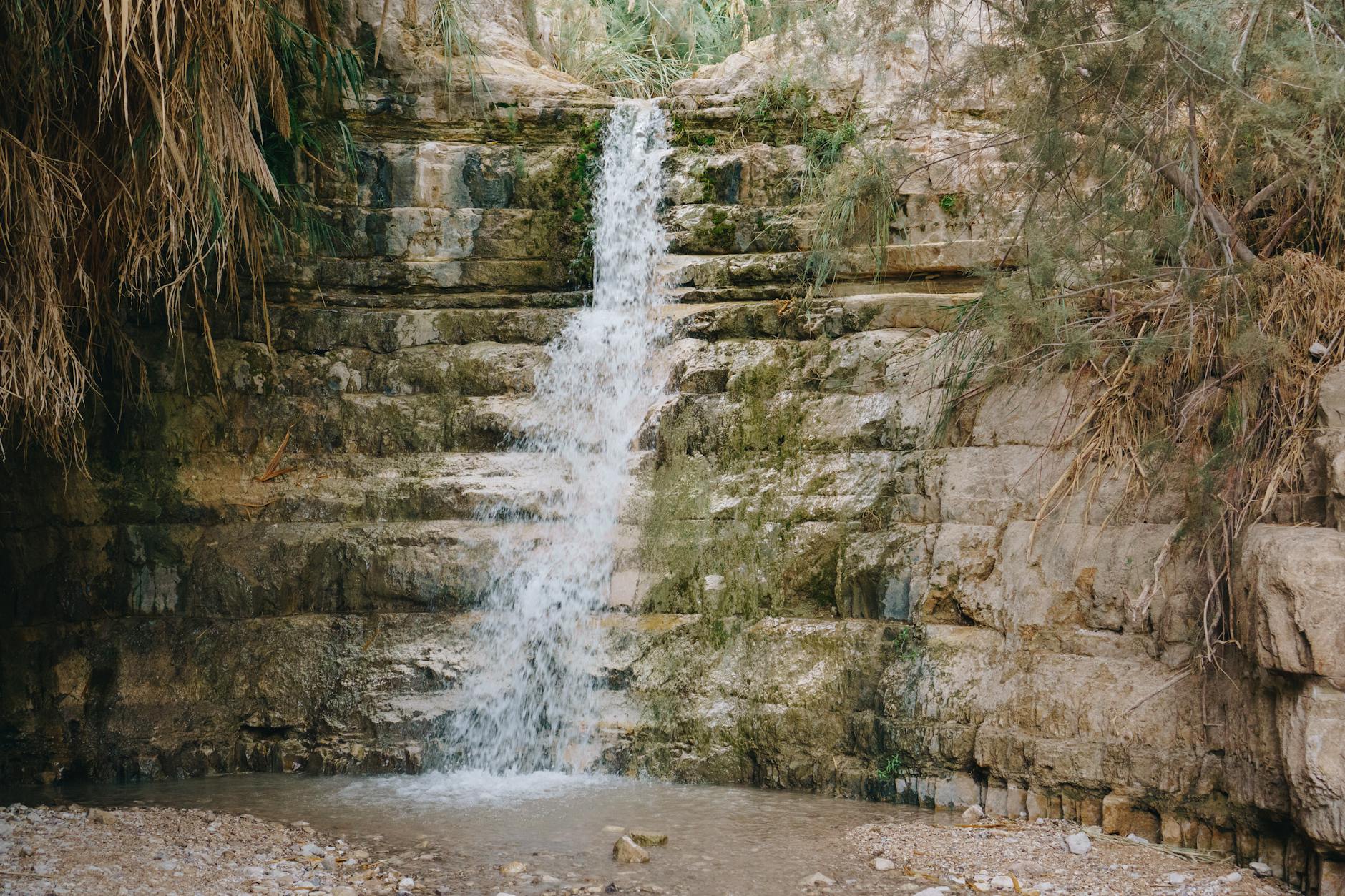
Gazelle Valley Urban Nature Reserve
In the heart of Jerusalem itself, the Gazelle Valley is a remarkable 250-acre urban nature reserve where you can observe a herd of wild mountain gazelles in their natural habitat. A 2.5-kilometer walking path loops through the valley, passing wetland areas, bird-watching stations, and educational displays. The reserve is free to enter and is a peaceful escape from the city. Early morning visits offer the best chances of spotting gazelles, as well as various bird species including hoopoes, bulbuls, and seasonal migrants. It is only one of many green spaces in the city — our roundup of Jerusalem’s parks and gardens covers the best picnic lawns and playgrounds.
Nahal Dolev Nature Reserve
Located about 30 minutes northwest of Jerusalem, Nahal Dolev features a picturesque forest trail following a seasonal stream through a narrow valley. The reserve is known for its ancient oak trees, some several hundred years old, and its particularly spectacular display of wildflowers in February and March — including cyclamen, anemones, and wild orchids. The main circular trail is approximately 5 kilometers and takes about 2 hours.
Stalactite Cave Nature Reserve (Soreq Cave)
Just 20 minutes southwest of Jerusalem, the Soreq Stalactite Cave is one of the most impressive geological attractions in the region. Discovered accidentally during quarrying operations in 1968, the cave contains an extraordinary collection of stalactites and stalagmites formed over millions of years, some in unique formations found nowhere else on Earth. The cave is maintained at a constant cool temperature — a welcome relief in summer. Guided tours last about 45 minutes. Combined with nearby hiking trails, this makes an excellent half-day outing.
Cycling and Mountain Biking
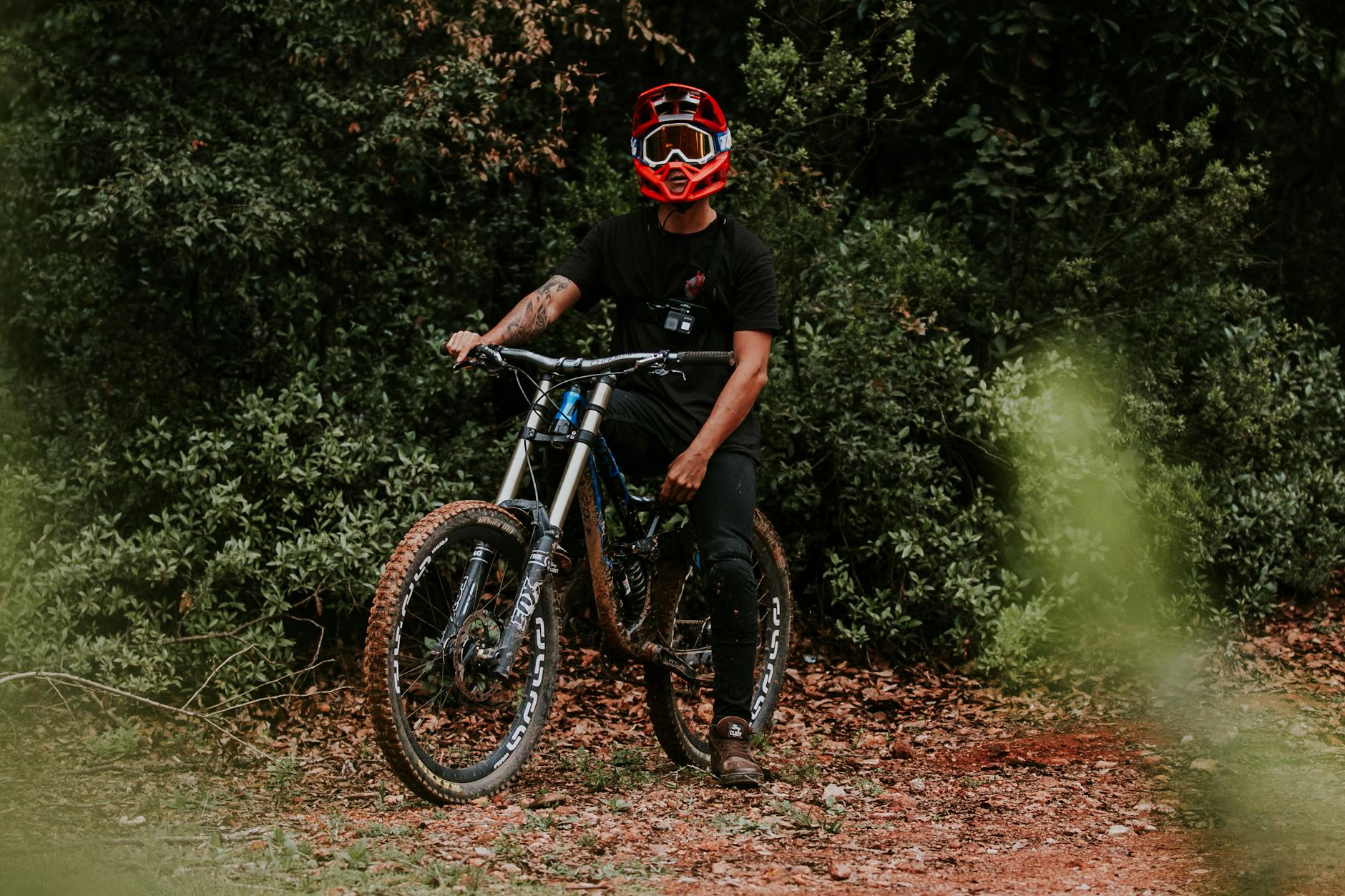
The Jerusalem area has become one of Israel’s premier mountain biking destinations, with a growing network of purpose-built singletrack trails supplementing older dirt roads and forest paths.
Jerusalem Forest Mountain Bike Trails
The Jerusalem Forest contains the most accessible mountain biking near the city, with trails ranging from gentle fire roads suitable for casual cyclists to technical singletrack that challenges experienced riders. The “Deer Park” trail system near the Biblical Zoo offers well-marked routes of varying difficulty. Rental bikes are available from several shops in central Jerusalem, and guided mountain bike tours can be arranged through local operators.
Judean Foothills (Shephelah) Cycling
The rolling hills of the Shephelah region west of Jerusalem offer outstanding road cycling through agricultural landscapes dotted with ancient archaeological sites. The region’s relatively gentle terrain and quiet roads make it ideal for road cycling, with routes of 30-80 kilometers available. The route from Beit Shemesh through the Elah Valley — where David is said to have fought Goliath — is particularly scenic.
E-Bike Tours
Electric bike tours have become increasingly popular in the Jerusalem area, making longer routes and hillier terrain accessible to riders of all fitness levels. Several operators offer guided e-bike tours of the Jerusalem Hills, the Judean foothills, and even desert routes. These tours typically cover 30-50 kilometers and include stops at viewpoints, springs, and historical sites.
Rock Climbing and Rappelling
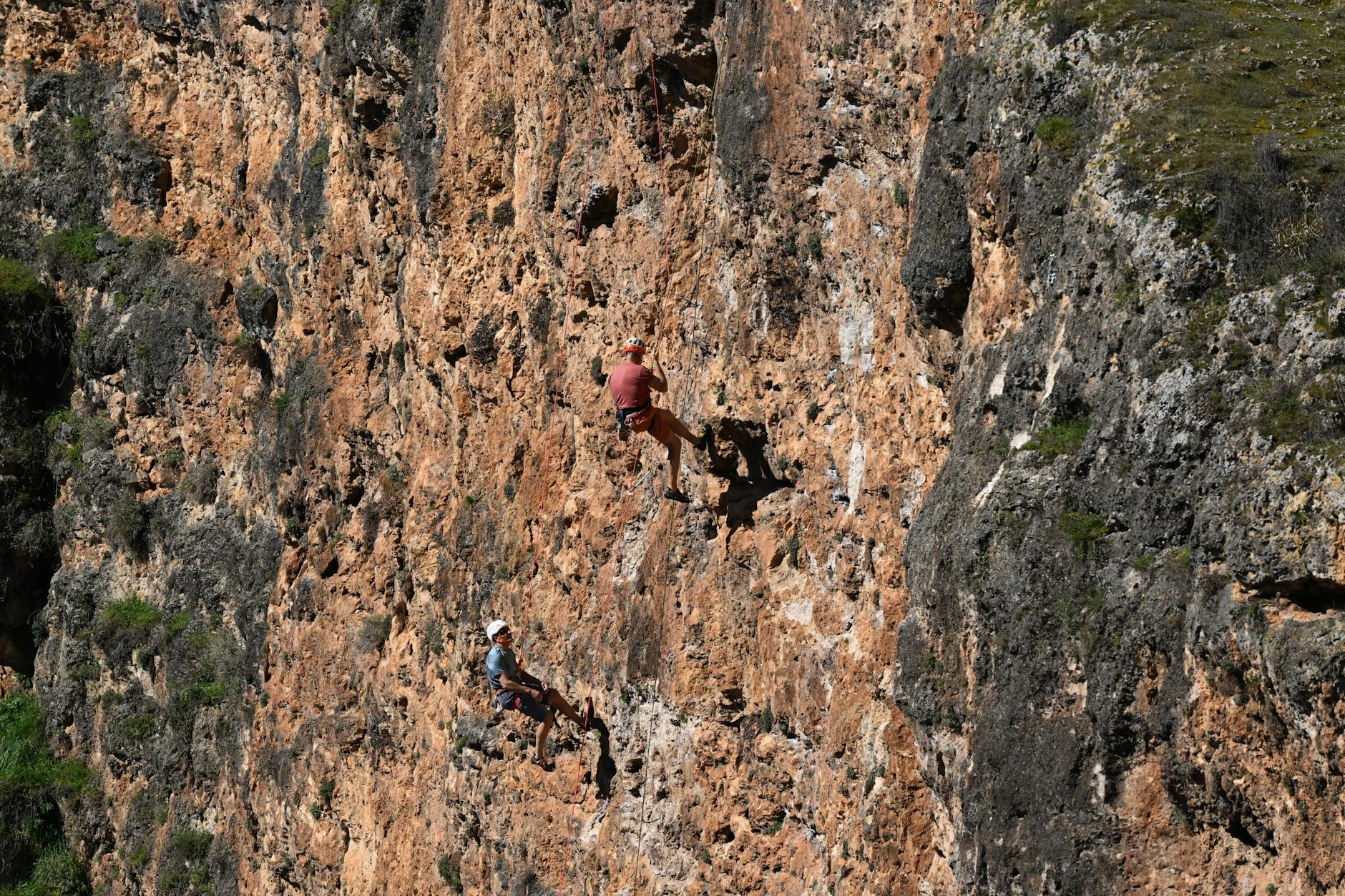
The limestone cliffs and desert canyons around Jerusalem provide excellent rock climbing and rappelling opportunities for all skill levels.
Ein Prat Climbing
Ein Prat, in the upper reaches of Wadi Qelt, is one of the premier climbing areas near Jerusalem. The canyon walls offer sport-climbing routes ranging from beginner-friendly 5a-5b to challenging 7a+ grades. The setting is spectacular — you climb above a spring-fed canyon in the Judean Desert. Local climbing guides can provide equipment and instruction.
Rappelling (Abseiling)
Several operators offer rappelling experiences in dramatic settings near Jerusalem, suitable for beginners with no prior experience. Popular locations include desert cliffs near the Dead Sea, canyon walls in Wadi Qelt, and quarry faces in the Jerusalem Hills. Full instruction and equipment are provided. This is one of the most popular adventure activities for visitors and can be combined with hiking for a full-day outdoor experience.
Luzit Caves
The Luzit Caves in the Judean foothills offer a unique underground climbing and exploration experience. These interconnected limestone tunnels, carved during the Bar Kochba revolt nearly 2,000 years ago, provide a safe and exciting caving experience suitable for families and beginners. Headlamp-lit passages, squeeze-throughs, and underground chambers create a genuine sense of adventure. Guided tours with equipment are available and highly recommended.
Seasonal Guide: When to Hike
Autumn (September-November): Excellent hiking conditions. Hot days in early September gradually give way to pleasant temperatures. The first rains in late October-November green up the hills. Desert hiking is possible throughout autumn.
Winter (December-February): The best season for desert hiking — comfortable temperatures and occasional dramatic flooding in wadis (check conditions before hiking). Jerusalem Hills trails can be muddy after rain but are beautifully green. Wildflower season begins in late February. Occasional snow in Jerusalem (rare but magical).
Spring (March-May): The prime hiking season. Wildflowers peak in March-April, temperatures are ideal (18-25°C), and the landscape is at its greenest. This is the best time for photography and the most comfortable for all skill levels. Popular trails get crowded on weekends — go midweek if possible.
Summer (June-August): Too hot for midday hiking anywhere near Jerusalem. If you must hike in summer, start at dawn and finish by 10am. Forest trails with shade are manageable early in the day. Desert hikes should be avoided entirely except by experienced hikers starting before sunrise. Carry extra water.
Practical Hiking Tips
Water: Carry a minimum of 2 liters per person for forest hikes and 3+ liters for desert trails. Natural springs exist but should not be relied upon as a sole water source. Dehydration is the most common hiking problem in Israel.
Navigation: Download the Israel Hiking Map app (free, available in English) — it has the most comprehensive and accurate trail mapping for the area. Trail markers follow a consistent color-coded system: blue, red, green, and black stripes on white backgrounds, plus the orange/blue/white of the Israel National Trail.
Safety: Tell someone your route and expected return time. Check weather forecasts, especially for desert hikes — flash floods in wadis can be deadly even when it is not raining at your location (storms upstream send water cascading down). Carry a charged phone. Snakes are present but rarely encountered; watch where you step and sit.
Footwear: Sturdy hiking shoes or boots with good grip are essential — Jerusalem Hills trails have rocky sections, and desert terrain is unforgiving. Sandals and sneakers are not appropriate for most trails.
Getting to trailheads: Most trailheads require a car or taxi. Some, like Sataf and the Jerusalem Forest, are accessible by bus with a short walk. Consider renting a car for a hiking-focused day — see our travel tips guide for rental information. Group tours offer a guided alternative with transportation included.
Guided options: Several companies offer guided hiking tours from Jerusalem in English, covering both Jerusalem Hills and desert routes. Guides provide transportation, knowledge of trail conditions, historical context, and safety expertise. This is especially recommended for desert hikes and for visitors unfamiliar with the terrain.
How to Read Israeli Trail Markers
Israel has one of the most thoroughly blazed trail networks in the world, maintained largely by volunteers from the Society for the Protection of Nature in Israel. Once you understand the system you can navigate most of the Jerusalem Hills without a map, and the same convention applies everywhere from the Galilee to Eilat.
A standard trail marker is three horizontal stripes painted on a rock, a tree trunk, a wall or a post. The two outer stripes are white; the middle stripe carries the trail color — red, blue, green or black. That middle color is the trail’s name. When a guidebook or a signpost says “follow the red trail,” it means follow the markings with a red center stripe, and the color implies nothing about difficulty. Markings are repainted often enough that a badly faded blaze usually means you have drifted onto an old or unofficial route.
The Israel National Trail, which runs the length of the country and passes through the Jerusalem Hills on its way between Sataf and Ein Karem, uses its own three-color blaze: white, blue and orange. The stacking order tells you which way you are walking — orange on top means you are heading south toward the desert, white on top means north toward Mount Hermon. It is a small detail that saves a lot of backtracking after a lunch stop. The Jerusalem Trail, the 42-kilometer loop around the city, is marked separately with its own symbol.
If a blaze is repeated twice, one above the other, the trail is about to turn. If you have walked more than five minutes without seeing a marker, you are probably off route — go back to the last one you saw rather than pushing forward hoping to relocate the path. That single habit prevents most of the navigation problems visitors have here.
Maps and apps worth having
- Israel Hiking Map — free, open-source, available as a website and an app, and the single most useful navigation tool for this region. It shows every blazed trail with its color, works offline once you download the area, and lets you record and share tracks.
- SPNI paper maps — the Israeli hiking map series sold in outdoor shops and at some INPA sites. Worth carrying on longer desert routes purely because paper does not run out of battery.
- Offline Google or Organic Maps — useful for the drive and for finding the trailhead, but they do not show blazed trails reliably. Do not navigate a canyon with them.
- INPA site pages — individual reserve pages list current opening hours, closures and route notes, and are updated faster than any third-party source.
Getting to Trailheads Without a Car
Renting a car for a hiking day is the easiest answer, and for the desert it is close to the only practical one. But several of the best walks near Jerusalem are genuinely reachable on public transport if you plan around the timetable rather than assuming it.
Reachable by bus or light rail
- Ein Karem — the most straightforward of all. Buses run from the city center and from the Mount Herzl light rail stop throughout the day, and the village itself is a fine destination even if the walk gets rained off. From here you can pick up the Israel National Trail segment toward Sataf.
- Sataf — served by an infrequent bus from the Shazar/Binyanei Ha’uma area near the Navon train station, dropping at the Sataf junction with a short walk up to the parking lot. Departures have historically been roughly every two hours, so check live times on Moovit and note the last return before you set out. Route details are in our guide to the Sataf trails.
- Jerusalem Forest and the Jerusalem Trail — the city loop is designed to be joined from inside Jerusalem, and several access points sit within walking distance of light rail stops or city bus routes.
- Gazelle Valley and the urban parks — city buses reach them directly. See our roundup of green spaces and parks around Jerusalem for the ones worth a detour.
Car, taxi or tour, realistically
Ein Prat and the whole Wadi Qelt system, Nahal Og, Mar Saba, Mount Eitan, Canada Park and most Judean Foothills trailheads are not sensibly reachable by public transport. Taxis will take you out but will not wait, and mobile coverage at the far end may not let you order a return. If you are hiking point to point — which is how the Ein Prat to Jericho traverse works best — you need either two cars, a prearranged driver, or a guided trip that includes the shuttle. Organized desert trips leaving from Jerusalem solve the transport problem and the navigation problem in one booking.
Note also that vehicle rental agreements in Israel frequently exclude travel in parts of the West Bank, and that several desert trailheads sit beyond the Green Line. Read the insurance small print before you drive east, and ask the rental company directly rather than guessing.
What to Bring on a Day Hike
Israeli day hiking is not equipment-heavy, but the gap between a forest walk and a desert canyon is bigger than it looks. Build from a common base and then adjust.
The base kit for any trail
- Closed hiking shoes or boots with real grip. Limestone here polishes to a shine underfoot and is genuinely slippery. Sandals cause a large share of the ankle injuries reported on these trails.
- A wide-brimmed hat, sunglasses and high-factor sunscreen. The sun is strong even in December.
- Water in the quantities described above, plus something salty and something sweet.
- A small first-aid kit with blister plasters, painkillers, tweezers and an elastic bandage.
- A phone with offline maps loaded and a power bank. Cash in small notes for entry fees and kiosks.
- A head torch if there is any chance you finish late. Twilight in Israel is short — full dark arrives roughly 30 minutes after sunset.
Add for the desert
- A long-sleeved, light-colored shirt and long trousers. Covering skin keeps you cooler than exposing it and prevents the sunburn that turns into heat illness.
- A buff or scarf that can be soaked at a spring and worn on the neck.
- Electrolyte tablets or oral rehydration salts, not just plain water.
- A layer for the return: desert temperatures fall sharply once the sun goes.
- Trekking poles if you are descending a steep canyon route, and gloves for any scrambling sections.
Add for the forest in winter and spring
- A waterproof shell. Jerusalem winters are genuinely wet, and the hills are exposed.
- Shoes you do not mind ruining — the red terra rossa soil turns to heavy mud after rain.
- Insect repellent from about April onward.
- Swimwear and a quick-dry towel between roughly May and September if your route passes a spring pool.
If you are riding rather than walking, the kit changes again — helmet, spares, and considerably more water than you would carry on foot for the same distance. Our guide to mountain biking around Jerusalem covers trail choices and bike rental options in more detail.
Hiking on Shabbat and Jewish Holidays
Saturday is the day Israelis go hiking. Trailheads at Sataf, Ein Prat and the Jerusalem Forest fill with families from mid-morning, picnic tables are taken, parking lots overflow by 10:00 on a pleasant spring Saturday, and the atmosphere is thoroughly sociable rather than solitary. If you want empty trails, hike Sunday to Thursday. If you want to see how the country actually spends its weekend, Saturday is the day.
The catch is transport. Israeli buses and the Jerusalem light rail stop running from Friday afternoon until after nightfall on Saturday, so the bus-accessible trailheads effectively become car-only for the busiest hiking day of the week. Buses from East Jerusalem run seven days a week, but they do not serve the western hill trailheads. Your options are a rental car collected before Friday afternoon, a taxi (which do run throughout Shabbat), a shared sherut, or a guided trip that provides its own vehicle.
Nature reserves and national parks themselves stay open on Saturday. What changes is Friday and the eve of a Jewish holiday, when INPA sites close one to two hours earlier than usual, and ticket offices typically shut an hour before the gates. Ein Prat, for example, has been operating summer hours of roughly 08:00 to 17:00 Sunday to Thursday and Saturday, closing around 16:00 on Fridays and holiday eves, with shorter winter hours — with adult entry around ₪29 and children around ₪15 as of August 2026. Confirm on the reserve page before you drive out, since hours and prices shift.
During Sukkot and Passover the hills are at their busiest of the entire year, with much of the country on holiday at once and the weather at its best. Arrive at popular trailheads before 08:00 or accept that you will be parking on a verge and sharing every viewpoint. Yom Kippur is the one day national parks close entirely and no traffic moves; it is not a hiking day.
Guided Hikes: When You Actually Need One
Most Jerusalem Hills walks need no guide at all. The trails are blazed, the distances are short, help is never far, and a phone with Israel Hiking Map loaded is enough. Hiring a guide for the Sataf blue trail would be money spent on company rather than safety.
The calculation changes east of the city. Consider a guide when the route is a point-to-point desert traverse needing a vehicle shuttle; when it crosses into the West Bank, as the lower Wadi Qelt and Mar Saba approaches do; when you are hiking in shoulder-season heat and want someone reading the conditions for you; when you want the archaeology and the monastic history explained as you walk; or when you are travelling alone and would rather not be alone in a canyon. Rappelling and canyoning routes require an operator regardless — the anchors, ropes and permits are not something to improvise.
Look for guides licensed by Israel’s Ministry of Tourism, ask specifically whether the price includes transport from your hotel, park entry fees and water, and confirm the group size. Many operators run scheduled small-group departures in English several days a week, which costs far less than a private day. The range of organized desert excursions from the city runs from half-day monastery viewpoint trips to full-day canyon hikes, and the better operators will tell you honestly when a route is too hot to attempt rather than selling it to you anyway.
Easy, Shaded and Family-Friendly Options
Not every outing needs to be a four-hour circuit. Several routes near Jerusalem are short, shaded, close to a parking area and forgiving of small legs, older knees or a late start.
- Sataf blue trail — about 3 kilometers on graded paths through the terraces, with springs to paddle in and shade for much of the way. The single best introduction to hiking here, and easily shortened to a 40-minute loop from the upper parking lot.
- Ein Prat, upper section — a mostly flat streamside walk with pools, reachable from the reserve parking area within minutes, with facilities and shade at the entrance.
- Gazelle Valley — flat, surfaced paths inside the city, with a real chance of seeing mountain gazelles around dusk. Free entry and no driving involved.
- Canada Park archaeological circuit — the full loop is 5 kilometers, but the ruins sit close enough to the road that you can visit two or three on a short walk with picnic tables nearby.
- Ein Karem village walk — cobbled lanes, churches, springs and cafés, with almost no trail-craft required and a bus home at the end.
For wheelchairs and pushchairs, the honest picture is that accessible trails exist but are the exception. Gazelle Valley and several of the urban parks have surfaced routes; most reserve entrances have accessible facilities and viewpoints even where the trail itself is not. INPA marks accessibility on individual site pages, so check that page rather than assuming. Families planning a wider itinerary will find more ideas in our guide to visiting Jerusalem with children.
Top 5 Hikes at a Glance
1. Sataf Blue Trail — 3 km, 1 hour, easy. Ancient terraces and springs. Perfect introduction to Jerusalem Hills hiking. Family-friendly. See our family travel guide for more kid-friendly ideas.
2. Wadi Qelt / Ein Prat — 3-6 km, 2-4 hours, moderate. Desert canyon with pools, springs, and monastery views. The most dramatic scenery near Jerusalem.
3. Sataf to Ein Karem — 7 km, 2.5 hours, moderate. Israel National Trail segment through forest to a charming village with cafes and churches.
4. Canada Park Archaeological Circuit — 5 km, 2-3 hours, easy. Forest hiking with Crusader ruins, Roman baths, and ancient caves. Free entry.
5. Red Trail Mountain Circuit (Sataf) — 8.5 km, 3-4 hours, moderate-challenging. The finest medium-length hike in the Jerusalem Mountains with panoramic Sorek Valley views.
The landscape around Jerusalem is one of its best-kept secrets. While millions of visitors explore the Old City each year, relatively few venture into the extraordinary natural terrain that begins just beyond the city limits. Whether you have a few hours for a morning forest walk or a full day for a desert canyon adventure, the hiking and outdoor activities near Jerusalem add a dimension to your visit that no museum or historical site can match. Combine outdoor exploration with the city’s cultural riches — see our complete guide to things to do in Jerusalem — for the fullest possible experience of this remarkable region.
Frequently Asked Questions About Hiking Near Jerusalem
Is it safe to hike near Jerusalem?
Yes, for the great majority of routes. The Jerusalem Hills trails are busy, well marked and close to help, and Israelis hike them constantly with young children. The real risks are environmental — heat, dehydration and winter flash floods in desert wadis — and they are almost entirely manageable with the right timing and enough water. Routes that cross into the West Bank warrant more planning, including a look at your government’s current travel advice before you go.
How much water should I carry?
Follow the Israel Nature and Parks Authority guidance: roughly 3 liters per person for northern and forest trails and around 5 liters per person in the desert and the south, with about a liter per hour of walking as the working rule in summer heat. Do not count on springs as a water source, add electrolytes on long hot days, and if you are carrying less than the guidance suggests, choose a shorter route instead.
What is the best time of year to hike around Jerusalem?
Spring, from roughly March to early May, is the best all-round season — wildflowers, temperatures around 18-25°C and everything green. Winter is the best season specifically for the desert, though you must watch the flood forecast. Autumn is reliably good from about mid-October. Summer is the season to avoid for anything beyond a shaded dawn walk in the forest.
Can I get to the trailheads by public transport?
Some of them. Ein Karem, the Jerusalem Forest, the Jerusalem Trail and the city parks are all reachable by bus or light rail, and an infrequent bus serves the Sataf junction. Ein Prat, Nahal Og, Mar Saba, Mount Eitan and Canada Park realistically need a car, a taxi or a tour, and no Israeli buses run from Friday afternoon until Saturday nightfall.
How do Israeli trail markings work?
Trails are blazed with three horizontal stripes — two white outer stripes and a colored center stripe in red, blue, green or black — painted on rocks, trees and posts. The center color names the trail and says nothing about difficulty. The Israel National Trail uses a white, blue and orange blaze, with the top color indicating direction of travel: orange on top for southbound, white on top for northbound.
Do I need a permit or an entrance fee to hike?
Open trails in the Jerusalem Forest, Canada Park and most of the hills are free and need no permit. Managed nature reserves such as Ein Prat and the Stalactite Cave charge entry — around ₪29 for adults and ₪15 for children at Ein Prat as of August 2026 — and close their ticket offices about an hour before the gates. Check current prices and hours on the reserve page before travelling.
Are there hikes suitable for young children?
Plenty. The Sataf blue trail, the upper Ein Prat streamside walk, Gazelle Valley inside the city and the short archaeological loops in Canada Park all work with children, all have shade or water, and all can be cut short without ruining the day. Go early, bring more water than you think you need, and pick a route with a picnic area at the end.
Should I hire a guide?
Not for the forest trails, which are easy to navigate alone. Strongly consider one for point-to-point desert traverses that need a vehicle shuttle, for routes crossing into the West Bank, and for anything involving ropes. A guide also buys you judgment about conditions, which is the thing visitors most often lack out here.
What should I do if I get lost or someone is hurt?
Stop, stay together, and return to the last trail marker you actually saw rather than pressing on. If someone is injured or showing signs of heat illness, move them into shade, cool and hydrate them, and call 101 for an ambulance or 100 for police, who coordinate mountain and canyon rescue. Stay where you are once you have called, and conserve phone battery.
{"@context": "https://schema.org", "@type": "FAQPage", "mainEntity": [{"@type": "Question", "name": "Is it safe to hike near Jerusalem?", "acceptedAnswer": {"@type": "Answer", "text": "Yes, for the great majority of routes. The Jerusalem Hills trails are busy, well marked and close to help, and Israelis hike them constantly with young children. The real risks are environmental — heat, dehydration and winter flash floods in desert wadis — and they are almost entirely manageable with the right timing and enough water. Routes that cross into the West Bank warrant more planning, including a look at your government's current travel advice before you go."}}, {"@type": "Question", "name": "How much water should I carry?", "acceptedAnswer": {"@type": "Answer", "text": "Follow the Israel Nature and Parks Authority guidance: roughly 3 liters per person for northern and forest trails and around 5 liters per person in the desert and the south, with about a liter per hour of walking as the working rule in summer heat. Do not count on springs as a water source, add electrolytes on long hot days, and if you are carrying less than the guidance suggests, choose a shorter route instead."}}, {"@type": "Question", "name": "What is the best time of year to hike around Jerusalem?", "acceptedAnswer": {"@type": "Answer", "text": "Spring, from roughly March to early May, is the best all-round season — wildflowers, temperatures around 18-25°C and everything green. Winter is the best season specifically for the desert, though you must watch the flood forecast. Autumn is reliably good from about mid-October. Summer is the season to avoid for anything beyond a shaded dawn walk in the forest."}}, {"@type": "Question", "name": "Can I get to the trailheads by public transport?", "acceptedAnswer": {"@type": "Answer", "text": "Some of them. Ein Karem, the Jerusalem Forest, the Jerusalem Trail and the city parks are all reachable by bus or light rail, and an infrequent bus serves the Sataf junction. Ein Prat, Nahal Og, Mar Saba, Mount Eitan and Canada Park realistically need a car, a taxi or a tour, and no Israeli buses run from Friday afternoon until Saturday nightfall."}}, {"@type": "Question", "name": "How do Israeli trail markings work?", "acceptedAnswer": {"@type": "Answer", "text": "Trails are blazed with three horizontal stripes — two white outer stripes and a colored center stripe in red, blue, green or black — painted on rocks, trees and posts. The center color names the trail and says nothing about difficulty. The Israel National Trail uses a white, blue and orange blaze, with the top color indicating direction of travel: orange on top for southbound, white on top for northbound."}}, {"@type": "Question", "name": "Do I need a permit or an entrance fee to hike?", "acceptedAnswer": {"@type": "Answer", "text": "Open trails in the Jerusalem Forest, Canada Park and most of the hills are free and need no permit. Managed nature reserves such as Ein Prat and the Stalactite Cave charge entry — around ₪29 for adults and ₪15 for children at Ein Prat as of August 2026 — and close their ticket offices about an hour before the gates. Check current prices and hours on the reserve page before travelling."}}, {"@type": "Question", "name": "Are there hikes suitable for young children?", "acceptedAnswer": {"@type": "Answer", "text": "Plenty. The Sataf blue trail, the upper Ein Prat streamside walk, Gazelle Valley inside the city and the short archaeological loops in Canada Park all work with children, all have shade or water, and all can be cut short without ruining the day. Go early, bring more water than you think you need, and pick a route with a picnic area at the end."}}, {"@type": "Question", "name": "Should I hire a guide?", "acceptedAnswer": {"@type": "Answer", "text": "Not for the forest trails, which are easy to navigate alone. Strongly consider one for point-to-point desert traverses that need a vehicle shuttle, for routes crossing into the West Bank, and for anything involving ropes. A guide also buys you judgment about conditions, which is the thing visitors most often lack out here."}}, {"@type": "Question", "name": "What should I do if I get lost or someone is hurt?", "acceptedAnswer": {"@type": "Answer", "text": "Stop, stay together, and return to the last trail marker you actually saw rather than pressing on. If someone is injured or showing signs of heat illness, move them into shade, cool and hydrate them, and call 101 for an ambulance or 100 for police, who coordinate mountain and canyon rescue. Stay where you are once you have called, and conserve phone battery."}}]}